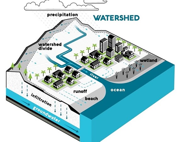
WATERSHED MANAGEMENT
Watershed management is a term used to describe the process of implementing land use practices and water management practices to protect and improve the quality of the water and other natural resources within a watershed by managing the use of those land and water resources in a comprehensive manner.
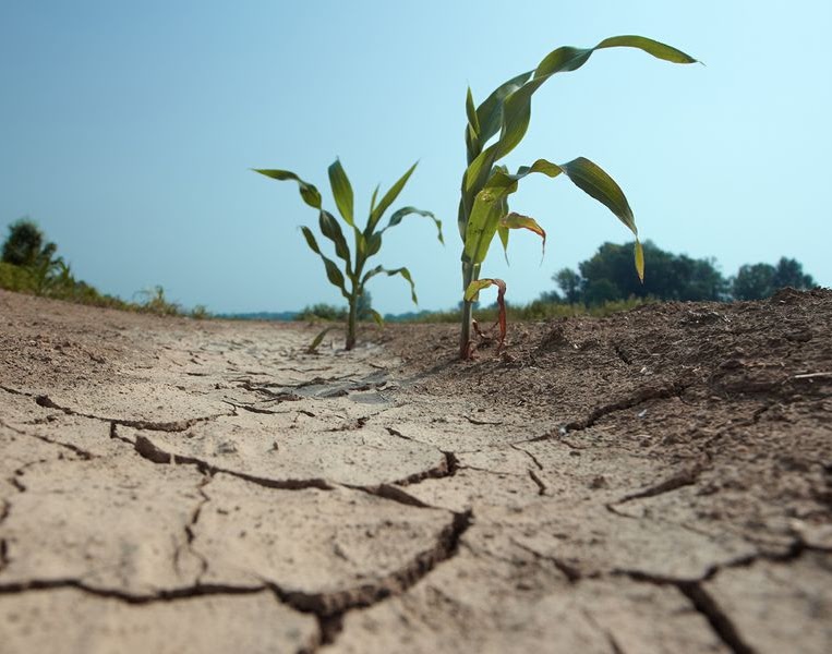
DROUGHT STUDY
A drought risk assessment is a formal step toward identifying vulnerabilities and taking mitigative and adaptive actions to reduce risk.
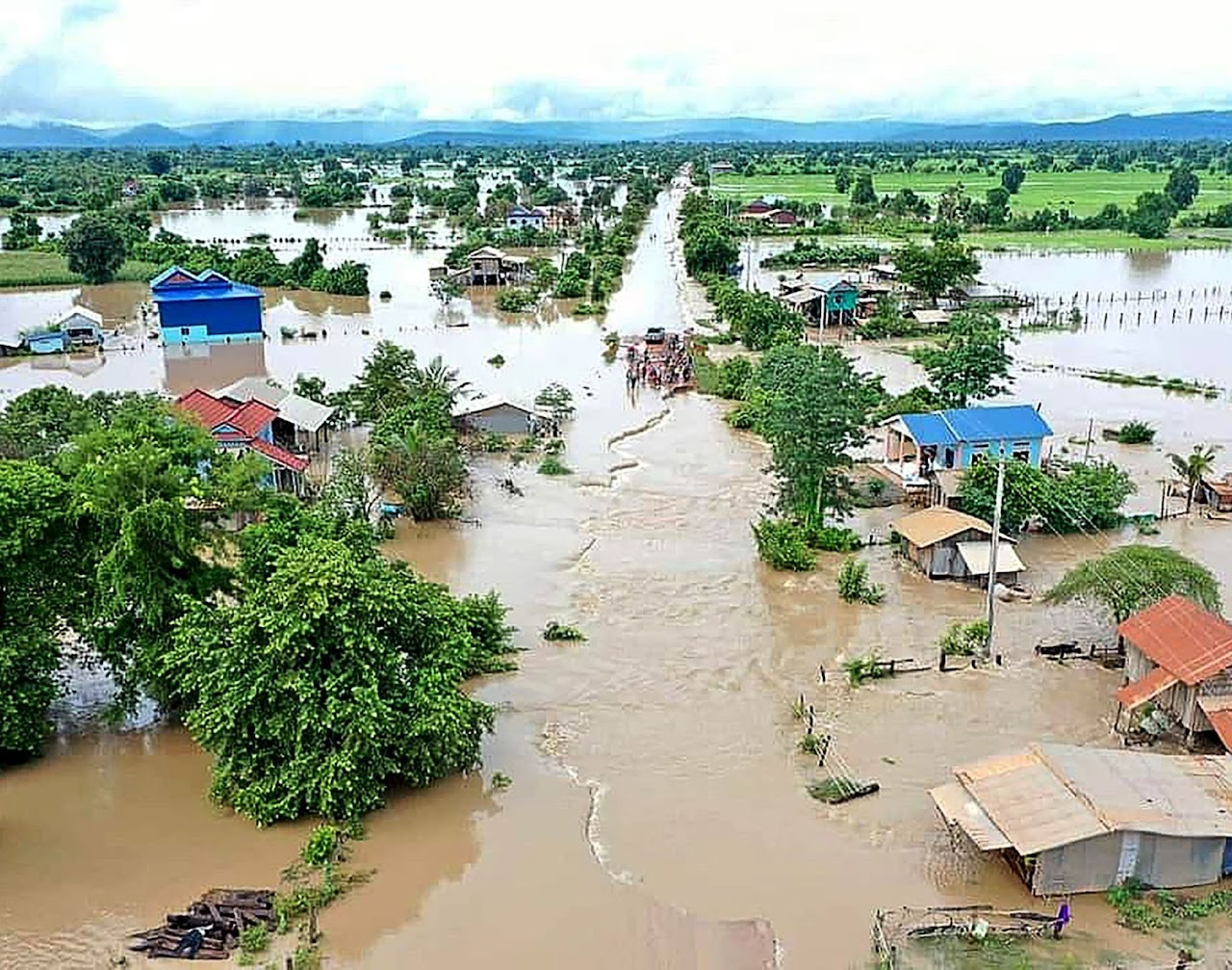
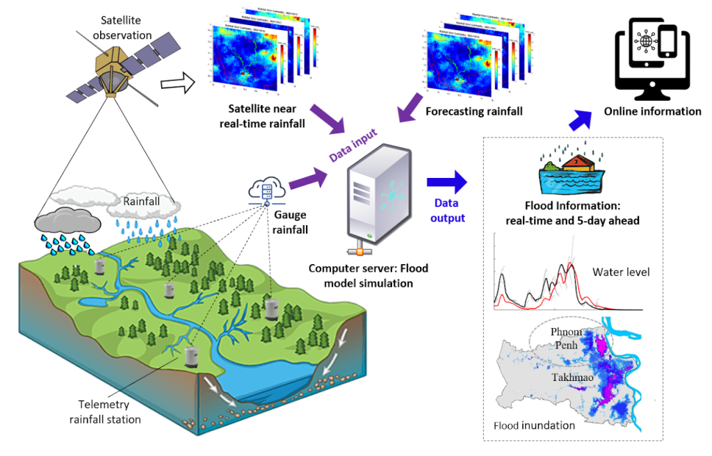
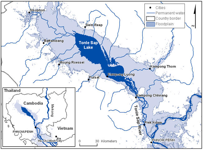
FLOOD STUDY
A flood study can be used to determine the probability of an area of land being prone to flooding. Using statistical analyses of historical records concerning things like river-flow and rainfall, along with floodplain topographic surveys, and hydrologic/hydraulic analyses, a flood study can be a very valuable tool when considering the best place to locate a house or business.
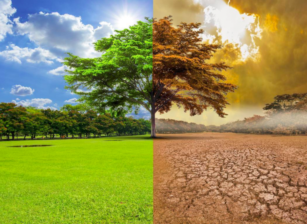
CLIMATE CHANGE AND ADAPTATION
Climate change adaptation is the adjustments societies or ecosystems make to limit the negative effects of climate change or to take advantage of opportunities provided by a changing climate.
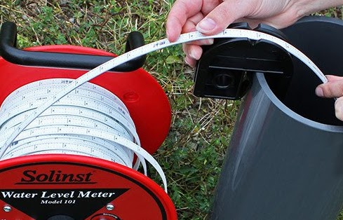
HYDROLOGY
Hydrology is the study of the distribution and movement of water both on and below the Earth's surface, as well as the impact of human activity on water availability and conditions.
WATER RESOURCE ASSESSMENT
water resources assessment is useful to assess the potential impacts of water infrastructure investment options and make informed and evidence-based investment decisions.
GROUNDWATER STUDY
The study of the distribution and movement of groundwater is hydrogeology, also called groundwater hydrology
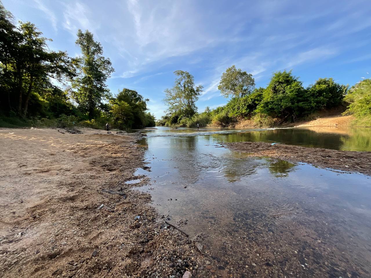
RIVER GEOMETRY AND OTHER SERVICES
The hydraulic geometry of rivers is the study of how the features of a river affect its geometry - its width, depth, shape, and flow patterns. A river might be small and fast, wide and large, steep downhill or relatively flat. Rivers begin at the source, usually in mountain ranges or uphill areas.