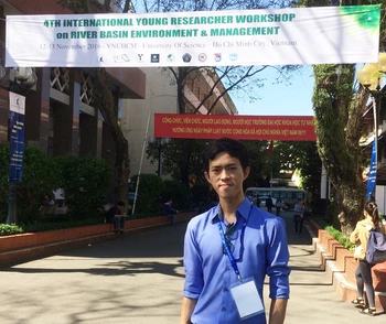
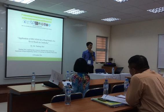
Mr. THOL Thaileng is a year 5 student in the Department of Rural Engineering (GRU), Institute of Technology of Cambodia (ITC). Funded by the workshop, he made an oral presentation in the 4th International Young Researchers Workshop on River Basin Environment and Management, 12–13 November 2016, VNUHCM–University of Science, Ho Chi Minh City, Vietnam. Presented in the Technical Session: Hydrology, the title of his research paper is “Application of HEC-RAS for a Flood Study of a River Reach in Cambodia”. Co-authors of this article are Mr. KIM Lengthong, Dr. LY Sarann, Dr. HENG Sokchhay and Miss SUN Sreykeo, from ITC-GRU. This indicates that the ITC-GRU students of the engineering’s program have enough ability to conduct scientific researches and present research results in international conferences. Through such activity, the name of ITC has been made visible to the international arena.
Thol, T., Kim, L., Ly, S., Heng, S., Sun, S., 2016. Application of HEC-RAS for a flood study of a river reach in Cambodia. The 4th International Young Researchers’ Workshop on River Basin Environment and Management, 12–13 November 2016, VNUHCM–University of Science, Vietnam, pp. 16–20.
Abstract: Located in Southeast Asia, Cambodia is one of the most disaster prone countries. According to the National Committee for Disaster Management (NCDM) of Cambodia, flooding has ranked the top of the natural disasters in the country. It affects and threatens not only human’s life, properties and infrastructures, but it is also an obstacle to the country development. This research study is conducted by using HEC-RAS model to predict flood extent of a river reach in Cambodia. A 50-km long of the Lower Mekong River in Cambodia was selected to delineate flood map from 2000 to 2013. A map of a ten-year return period flood was also established. The analysis is based mainly on the observed data of water level of 8 years, 18 river cross-sections and digital elevation model (30 m x 30 m). The output from the model including flood extent and flood depth from 2000 to 2013 (without 2009, 2010 and 2012) was spatially mapped for analysis. According to the results, flood conditions varied from year to year; however, the greatest flood was in 2000 and 2011. In addition, results of model calibration and validation show a quite good agreement with observed data. Shortly, HEC-RAS is a potential tool for the prediction of flood extent in Cambodia and the map of flood extent provides a useful information for a sustainable flood management.